


2021
 Map
Moderate
Map
Moderate
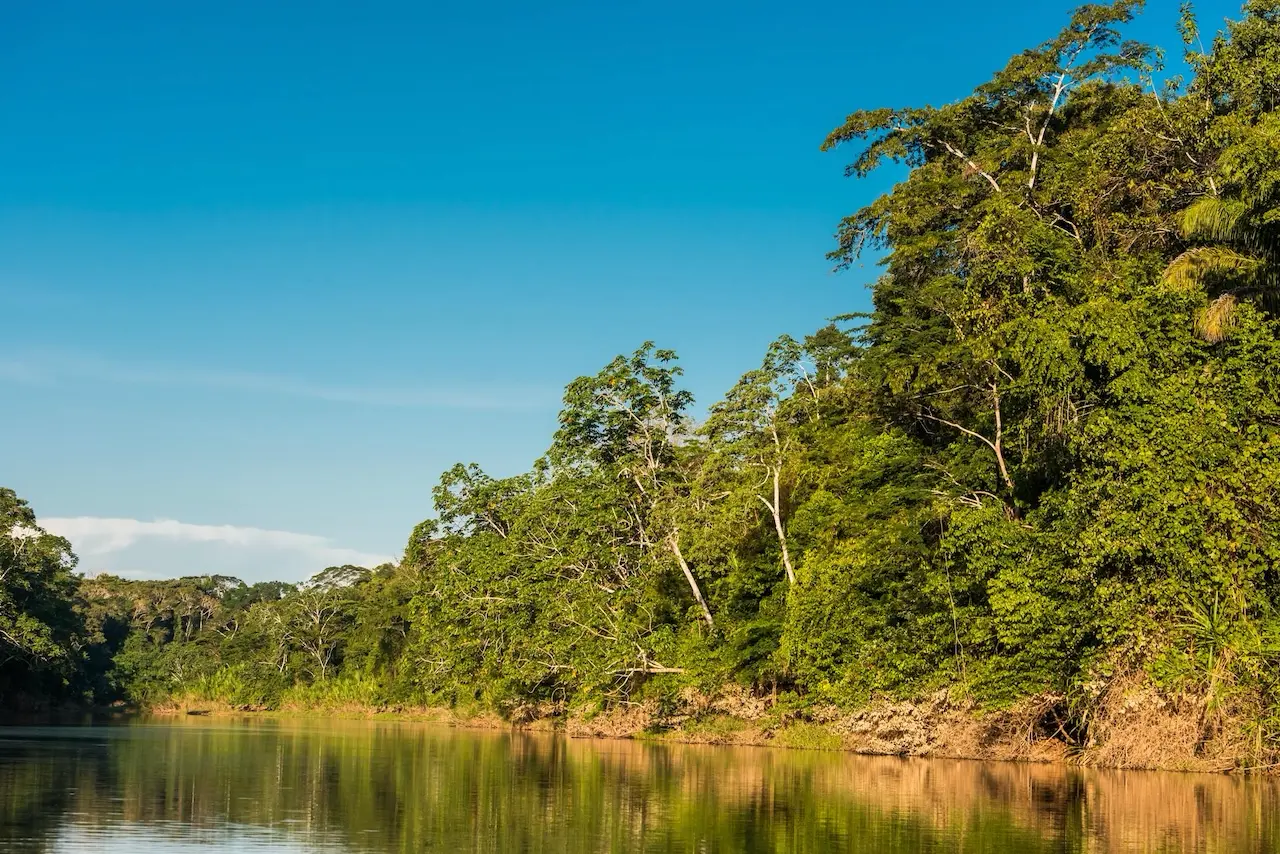
Australian land management mapping
 Map
Map
This resource provides visual data from the State of the Environment report to support understanding of environmental changes across Australia.
- Includes graphs and maps on rainfall, air quality, and water storage
- Shows coral bleaching and sea ice formation trends
- Tracks threatened species and biodiversity loss
- Features Indigenous heritage and cultural connections to land
- Supports environmental planning and monitoring
- Data sourced from government and research programs
How this may be relevant to you
Your relevance score
Moderate relevance. Worth reviewing for applicable insights.
This content helps mining industry stakeholders understand environmental pressures and biodiversity impacts relevant to land use and planning.
- Visual data on land degradation and water storage trends
- Air quality timelines relevant to operational impacts
- Threatened species data for environmental risk assessments
- Coral bleaching and ecosystem health indicators
- Carbon cycle insights for emissions planning
- Supports ESG reporting and compliance efforts
Related resources


How does sustainability create business value?
How do you embed sustainability into daily decisions?
Why sustainability practices should consider community aspect first?
Have a question? Ask an expert!
Tell us what you want to understand better, and our trusted Experts will offer their perspective.
Visit our FAQs page to learn more about our ‘Ask the Expert’ feature.


