


2025
 Central information hubs
Very High
Central information hubs
Very High
Queensland spatial catalogue
 Central information hubs
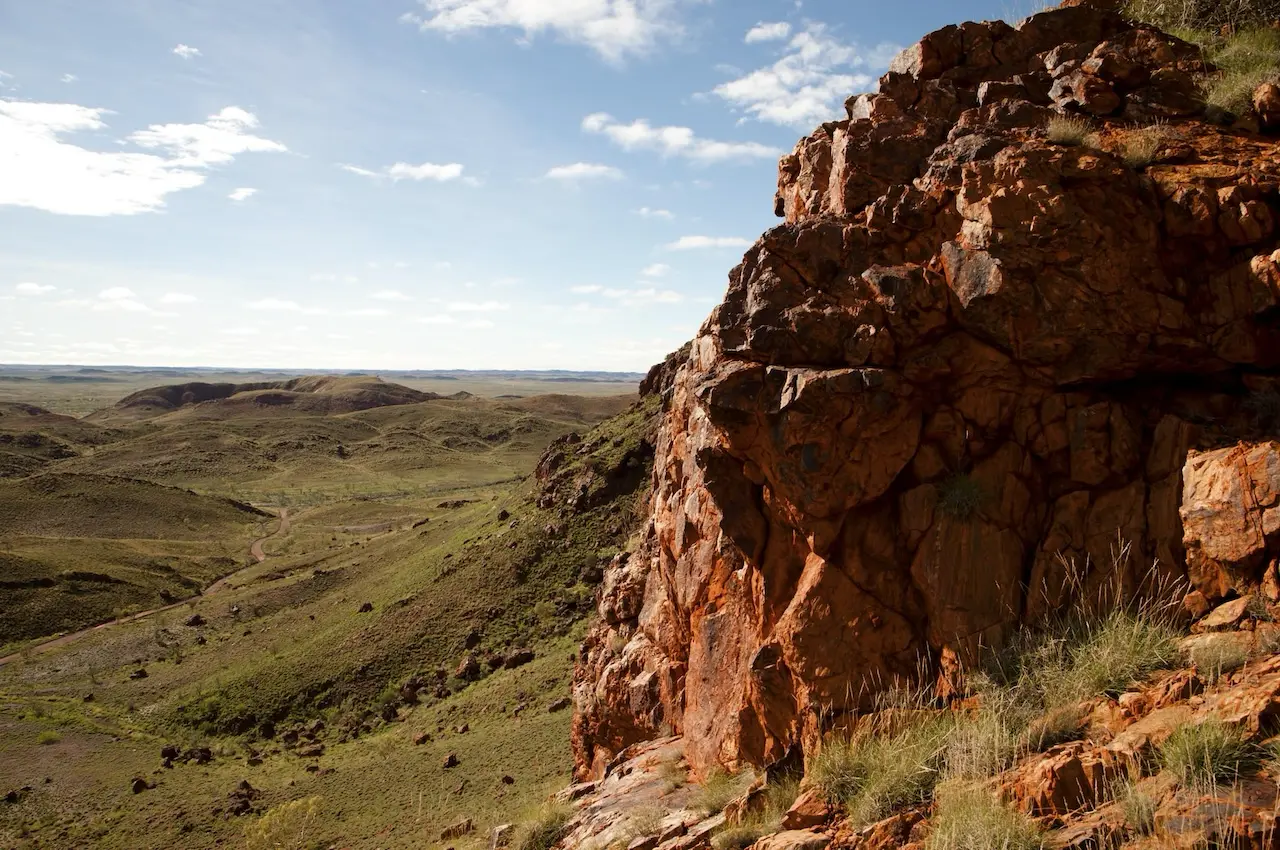
The Queensland Spatial Catalogue provides public access to spatial datasets that support decision-making in mining.
- Offers downloadable maps, images and text data
- Includes mining tenure and geology series
- Supports land use and environmental planning
- Accessible via Queensland Globe and live services
- Useful for identifying areas of interest for mining projects
- Supports transparency and data-driven ESG practices
How this may be relevant to you
Your relevance score
Highly relevant. Examine the resource to gain the full value for your focus area.
This catalogue supports mining professionals by providing spatial data for exploration, planning and ESG compliance.
- Mining tenure datasets assist with project planning
- Geology series supports exploration activities
- Regional ecosystem data aids environmental assessments
- Spatial access improves operational transparency
- Supports ESG mapping and reporting
- Useful for universities and research agencies
Related resources

How do you embed sustainability into daily decisions?
How does sustainability create business value?
Why sustainability practices should consider community aspect first?
Have a question? Ask an expert!
Tell us what you want to understand better, and our trusted Experts will offer their perspective.
Visit our FAQs page to learn more about our ‘Ask the Expert’ feature.


