


2025
 Case studies
Very High
Case studies
Very High
Mapping of Important Biodiversity and Ecosystems Across BHP’s Estate and Areas of Influence
 Case studies
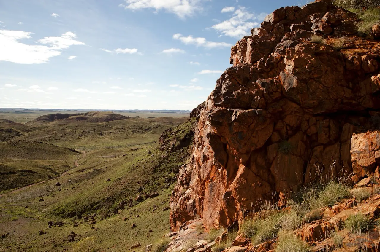
BHP’s 2025 case study presents a standardised, spatially explicit methodology for mapping important biodiversity and ecosystem features across its global operations and surrounding areas of influence.
- Defines ‘Important Biodiversity and Ecosystems’ (IBE) using global scientific datasets
- Implements GIS-based mapping for consistent, repeatable analysis
- Supports BHP’s 2030 nature-positive goal (-30% stewardship under conservation/restoration)
- Prioritises high ecosystem value areas for conservation and restoration
- Methodology enables integration of higher-resolution, asset-level data
- Developed in partnership with CSIRO, 2ROG, and local communities
How this may be relevant to you
Your relevance score
Highly relevant. Examine the resource to gain the full value for your focus area.
Provides critical insights for mining sector environmental management, spatial planning, and biodiversity stewardship.
- Offers replicable, GIS-based methodology suitable for mine site biodiversity assessment
- Aligns with global biodiversity frameworks (e.g., IUCN, IFC PS6)
- Enables planning for conservation, restoration, and regenerative initiatives
- Supports asset-level environmental risk assessment and management
- Facilitates integration of biodiversity mapping into ESG performance reporting
- Demonstrates scalable, data-driven environmental management
Related resources

How does sustainability create business value?
Why sustainability practices should consider community aspect first?
How do you embed sustainability into daily decisions?
Have a question? Ask an expert!
Tell us what you want to understand better, and our trusted Experts will offer their perspective.
Visit our FAQs page to learn more about our ‘Ask the Expert’ feature.


